Research #
3D Scene Understanding for Mobile Robots #
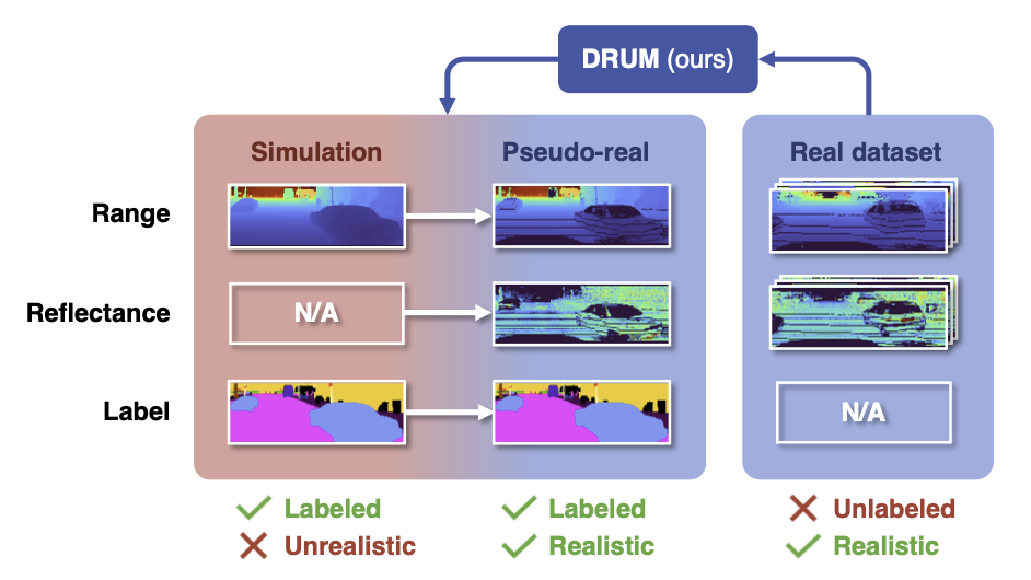
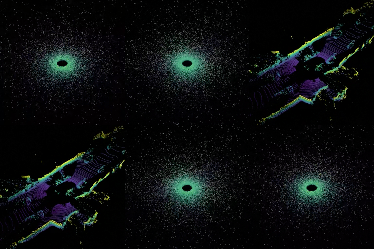
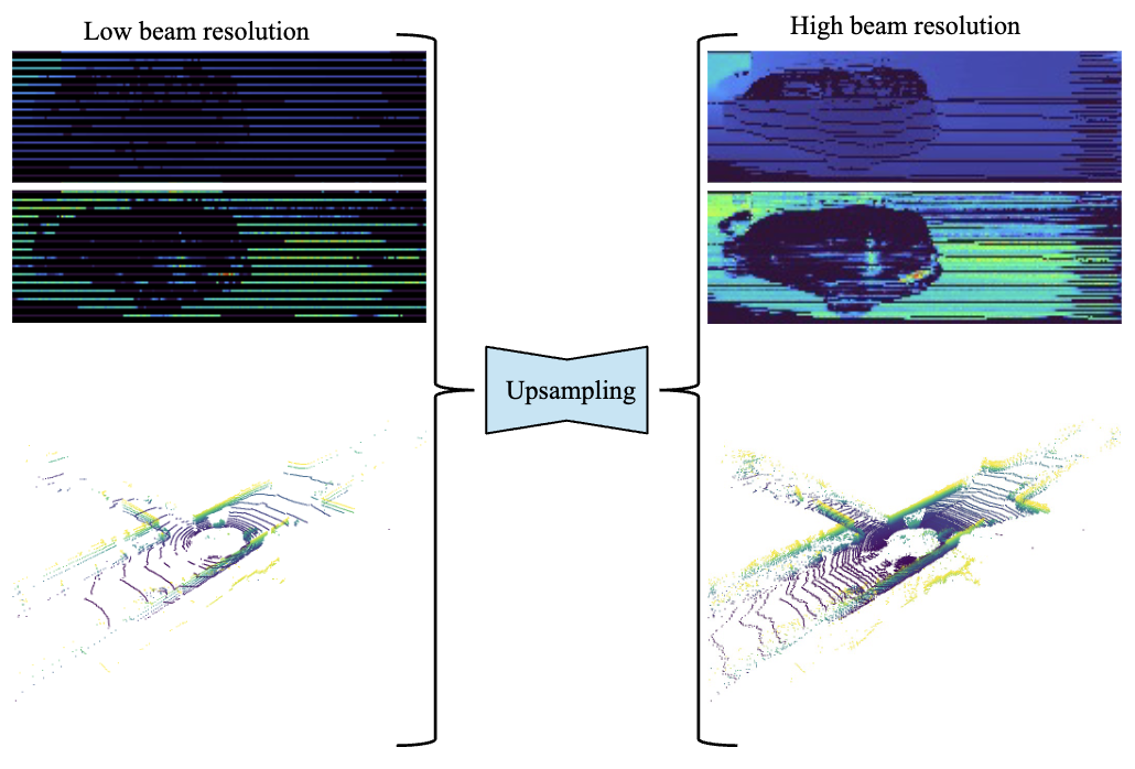
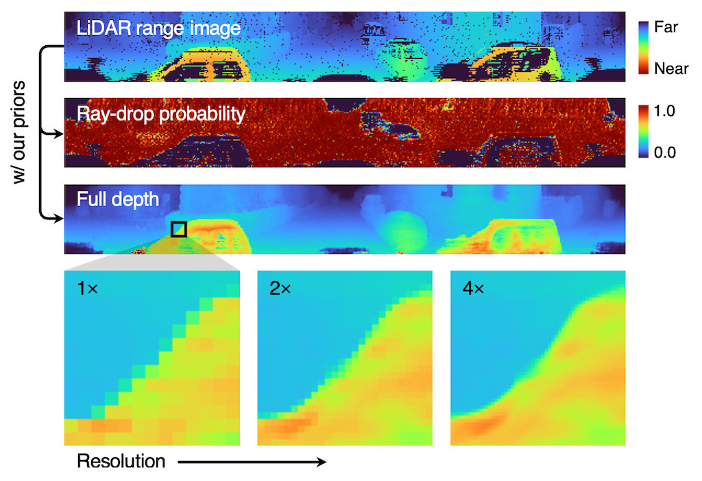
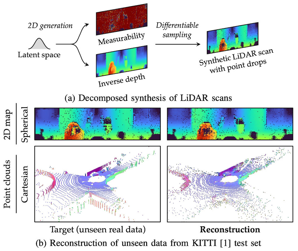
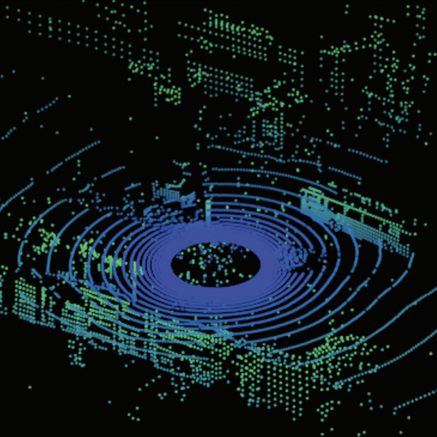
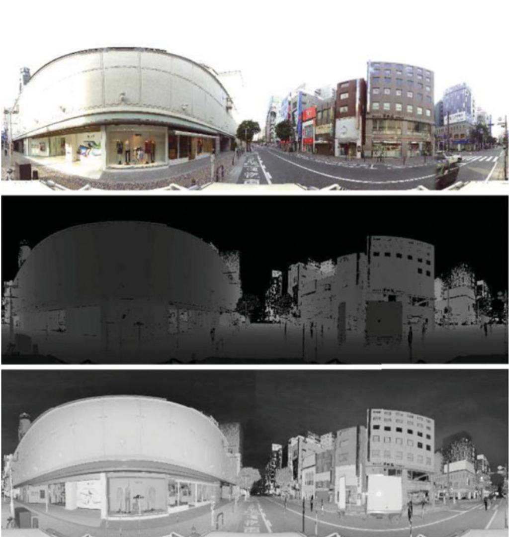
Understanding the geometry and semantics of their surroundings is essential for autonomous robots to navigate and operate effectively in the physical world. How can robots derive such an understanding from 3D measurements such as LiDAR scans? My research addresses this question through scene classification, generative modeling, restoration, upsampling, and sim-to-real domain adaptation.

Vision-based Human Activity Recognition #
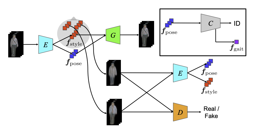
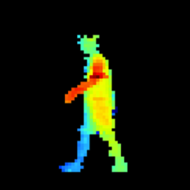
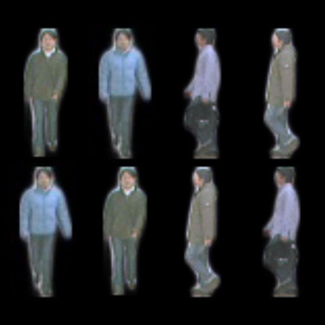
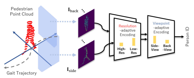
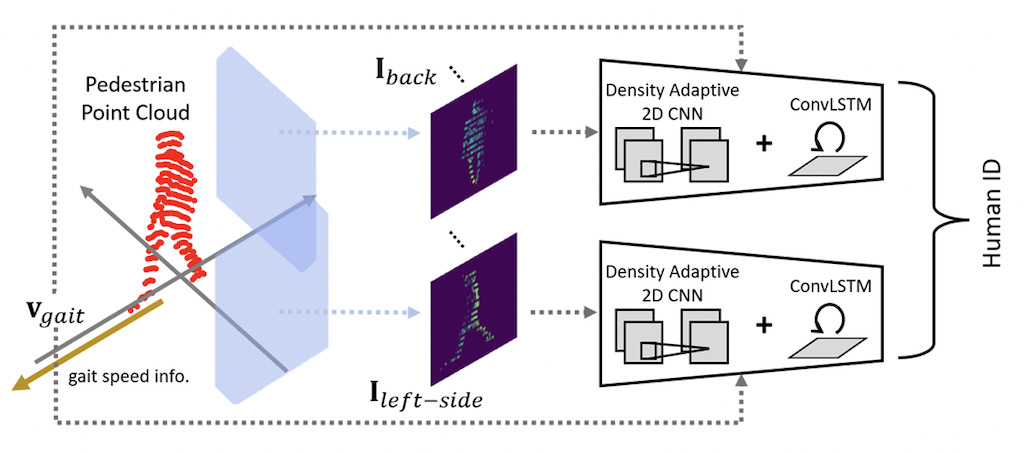
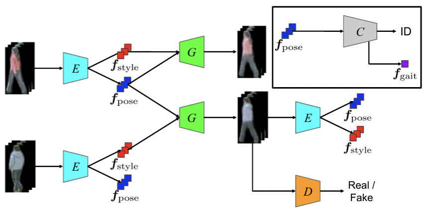
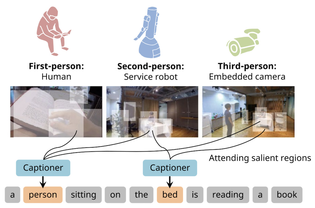
This work focuses on identifying people and understanding their activities in environments. The work includes gait recognition from RGB videos and LiDAR point clouds, with methods designed to handle changes in appearance, viewpoint, walking direction, measurement distance, and point-cloud density. It also explores multi-perspective visual lifelogging that combines first-, second-, and third-person views to describe human activities and interactions.
Cyber-Physical Systems for Construction Sites #
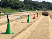
Field robots require sensing systems that remain reliable under vibration, changing terrain, and other constraints of outdoor construction sites. This work develops distributed sensor networks and a ROS2-based cyber-physical platform for collecting and visualizing site information, together with vibration-based methods for assessing ground stiffness during compaction. Work done during postdoc at Kyushu University.
Terrain Understanding for Planetary Rovers #
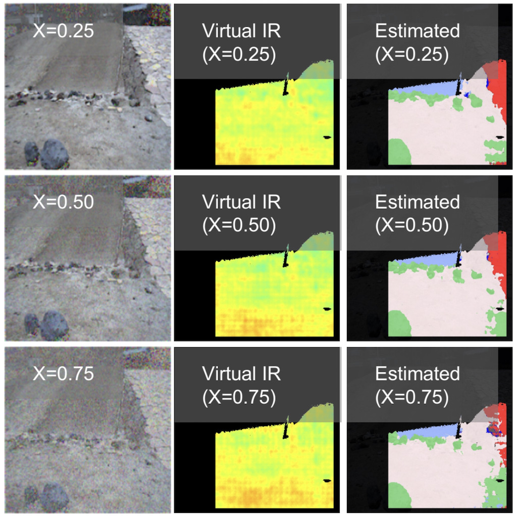
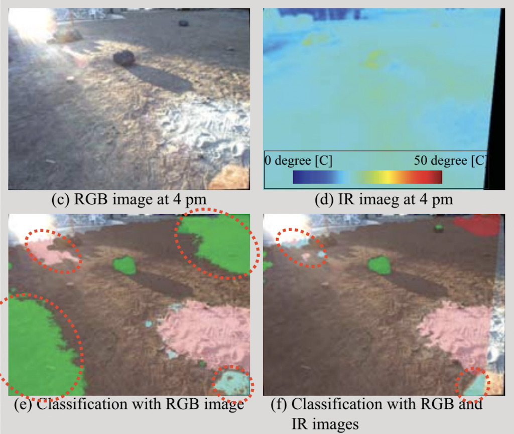
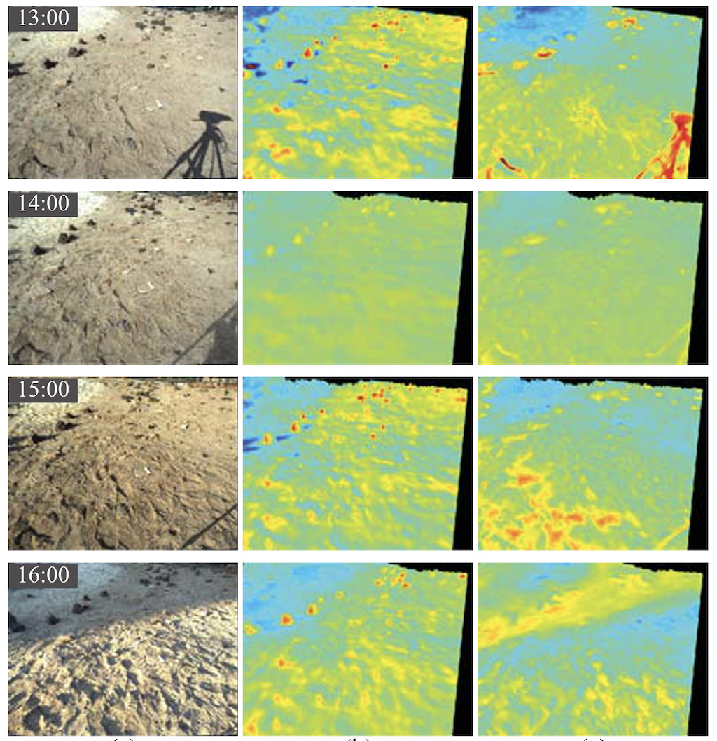
Terrain understanding is an important component of autonomous navigation for planetary rovers, where visual appearance changes with illumination and thermal sensors may not be available. The work includes models that fuse visible and thermal imagery for illumination-robust terrain classification, as well as methods that estimate thermal information from RGB images, surface geometry, and solar-radiation measurements. Work done during my PhD internship at NASA/Caltech JPL.